
Spiorad Aird nam Murchan: Where the Map Falls Silent - Reflections from Port Mackie

Where the Map Falls Silent: Reflections from Port Mackie
Spiorad Aird nam Murchan – Part Ten
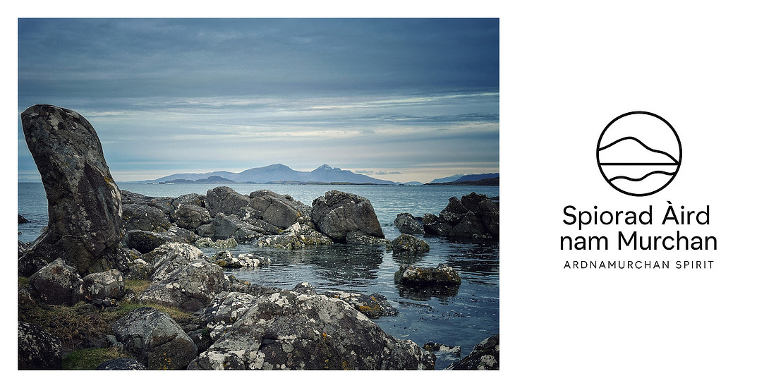

There are places that do not announce themselves. They do not stride onto the page of the atlas in serifed capitals, do not queue for their badge on the road sign. They prefer the margins, the in-betweens—the seat where paper hesitates and sea takes over. Port Mackie is such a place.
For almost a decade, we have known this bay not by its given name but by its absence of one: the hidden bay. On most maps it is a soft, unshouted curve—tideline as afterthought—yet to have its true name shared by those who carry this coast in their bones is to feel a piece of old magic rise. Names are more than labels; they are vessels launched onto time, carrying silted memories, ferrying story across generations. The hidden bay answers to both: to the intimate name we gave it and to the older, locally carried name whose syllables salt the air when said aloud.
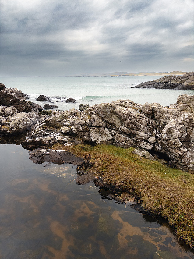
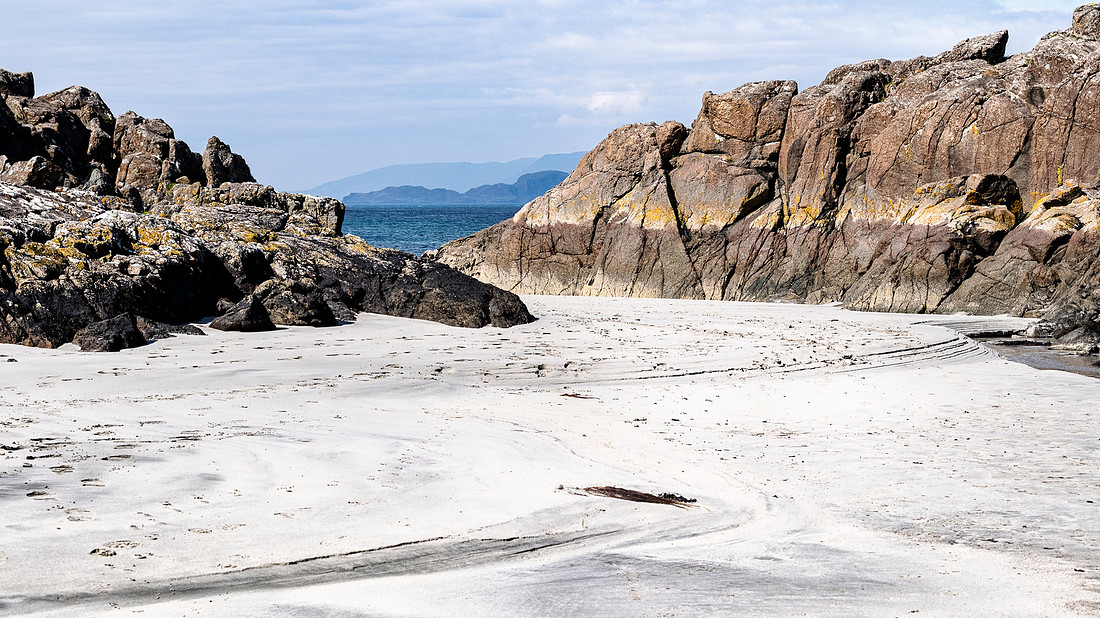
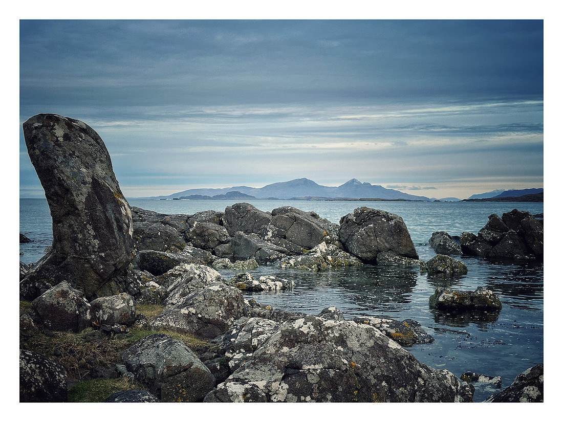
And so we return, again and again, to a shoreline that has taught us how to pay attention: kelp left drying like thick copper ribbons; dark stones re-inked by a new sweep of tide; a gull’s single cry pinning the wide sky in place. The wind comes in from the west and drags its long sleeve along the hill crests. The rain works the valleys like a loom, drawing grey weft through green warp. The bay does not ask for anything except your stillness—and in that stillness, the mind expands like a sail.
The Pull of the Unnamed
To reach Port Mackie is to pass through a sequence of thresholds: the last cottages of Portuairk set back from the road, the machair tilting down to rock, the rock bevelled into the slow choreography of the Atlantic. Here, the light has several languages. At noon it speaks in high, clean notes—hard silver, clipped shadow. In storms it drops to a lower register: pewter and slate, a purring undertone crowding the surf.
Stand on the lip of the hidden bay and listen. The wind is a long vowel stretched between headlands. The tide answers softly, a consonant fricative mingling with the hiss of weed. Rain—or a drift of spray masquerading as rain—flicks at the face, and the briny smell is both appetite and memory. A ripple of sand-flies lifts like graphite dust; a shag cleaves the surface, then vanishes as if swallowed by a fold in the page.
What anchors us here is not spectacle but cadence. The place has a pulse you feel through the soles of your boots—the muffled thud of wave on subtidal rock, the minute clatter of shell on shell. For those who make things—images, sentences, the fragile scaffolds of ideas—such places are more than solitude. They are tuning forks. This bay corrects our pitch. It steadies the hand and re-awakens the eye.
The geology itself seems to breathe under all this weather. Bands of gabbro and eucrite press their story to the shoreline, intrusions veined and fluxed where molten histories once met and married; a rough, muscular under-song beneath the light-struck surfaces we photograph (the fluxion gabbro and Great Eucrite are prominent around Portuairk and toward Eilean Carrach).
Of Running Men and Hidden Bays
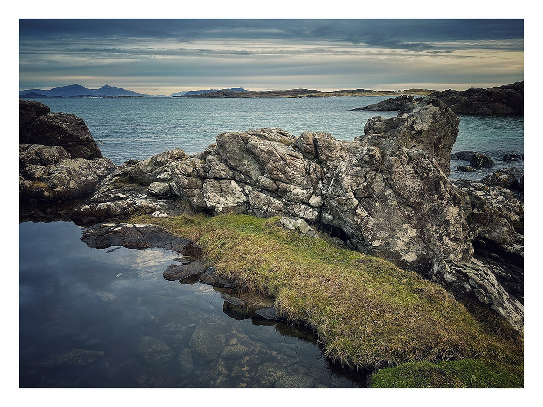
In rural places, names begin as habits. A man who runs becomes Running Man. A bay without a label becomes the hidden bay. These are not nicknames; they are small acts of orientation, map pins hammered into daily life. For long months we watched a runner cut cleanly through the weather on the rise near Grigadale—stride regular as rainfall—before we knew his given name. The pattern came first; the person, with time. So, too, with the bay: the hours of walking its tide-line, the small rites of looking and listening, came long before the name Port Mackie found us.
It’s that sequence—attendance before attribution—that changes how a place gets into you. By the time someone speaks a local name, you already have the place in your bones. The name then settles like a finishing note on a chord you’ve been holding for years. And in the whisper of that note, something cultural stands up—how communities attribute names in unhurried, practical ways, tying identity to behaviour, season, craft, or stance; how weather and work become biography.
These shorelines hold other biographies, too—fainter but no less real. The remains of temporary dwellings and shielings speak of arrivals hurried by pressure from the east and of first shelters thrown up where the land and freshwater offered a minimal promise. Some of that earliest clustering happened close to this bay; a small shieling-like structure near Port Mackie was explored by local volunteers in recent years, the archaeology suggesting the patchwork pragmatism of new settlement and the pull of shelter and rushes for thatch.
The Cartographer’s Silence
Old maps of Ardnamurchan fascinate because they are both precise and partial. They say as much by what they omit as by what they record. On William Bald’s 1806 map the fields that would become Portuairk appear worked but largely house-less, part of a broader Achosnich landscape; it is a document of cultivation without yet a township inscribed. Later Ordnance Survey work in the mid-19th century begins to register dwellings taking hold—half a dozen by the 1850s, and then, by 1872, a scatter of some twenty-one buildings arranged along the shore. The coastline’s facts deepen; its silences, too, begin to speak.
Such cartographic thresholds matter, not as pedantries but as culture. They are the drawn breath before a community declares itself. In these frames one glimpses the mechanics of arrival and adaptation: the choice of a well-sheltered bay, a burn threading the sands, the practical abundance of rushes for thatch, the incremental patterning of houses along the water’s edge. A map does not capture the taste of salt or the angle of a gale, but it can show where people have agreed to stay and how they learned the lay of the wind.
There is another kind of map, too—the one that lives in a single place’s long memory. Watch a single-sailed schooner anchor off Port Mackie in a photograph taken on a summer evening and the present blurs; for a breath you are in the 18th century again, the bay suddenly crowded with older narratives. That mirage—a trick of light and a truth of continuity—appears occasionally in local chronicles and island blogs, where the timelessness of the anchorage is caught on camera and set alongside daily weather notes and sea-state observations.
Gaelic Toponymy: The Poetry of Place
Names here are dictionaries disguised as landscapes. Portuairk itself resists a single etymology. Some argue for a Norse root—saur + vík, a muddy bay—though local observers have doubted the “mud,” preferring the Gaelic port shobhrag, the bay of little primroses, with their bright scatter in spring. Others hear Port Uaraig or Port Uaric, possibly derived from a personal name—Ulrig—a Norse warrior lodged in the record of older parish books. The multiplicity is telling: a shoreline translated several ways, language layering over language, each version an index of season, sound, and memory.
Up the road, Achosnich carries a wind in its name—often rendered “field of sighing”—a field that seems to exhale when the southwesterlies roll in. Kilchoan—Cill Chomhghain, the church of St Comgan—threads ecclesiastical history into the geography, reminding us that prayer and pasture often shared a boundary fence. Such translations aren’t trivia. They are coordinates in a cultural atlas, telling us where saints stood, where water ran, where toil and shelter took hold.
To walk with these names on your tongue is to walk accompanied. And the work of agreeing and recording them continues, from local research groups to national bodies that keep a careful ledger of Gaelic forms so that signage, maps, and scholarship can reflect both history and usage. The point is not to fix a living language in amber, but to respect the thread that binds sound to place.
Even the “generic” Gaelic building blocks—achadh (field), beinn (mountain), inbhir (river mouth), camas (bay)—become a low, mnemonic music once you’ve learned to hear them in the wind. They structure attention. They are field notes built into speech.
Weathering the Imagination
The west teaches patience. Days stack up in variations of wet. Rain has its different registers here: mizzle that writes gentle italics across the view; a driven percussion that hammers the valley from ridge to river; showers that arrive in bright, ceremonial curtains, each one sashaying across the machair as if to applause. The wind is chorister and critic, praising what is sturdy, finding whatever is loose in your thinking and shaking it out.
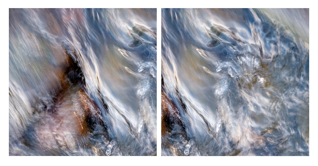
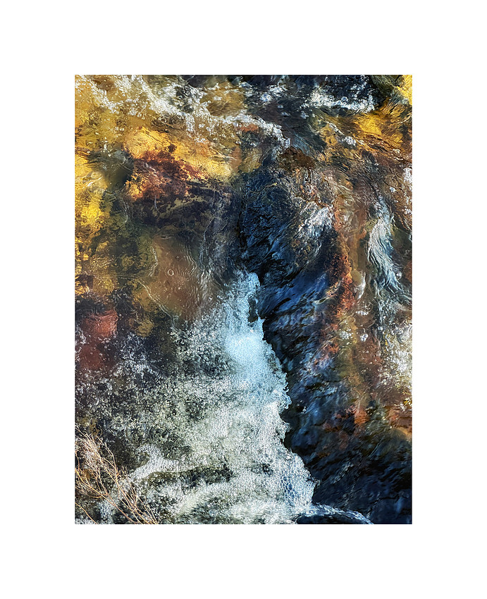
Down in the hidden bay, weather makes a studio of the ordinary. Photos become less about spectacle and more about the tactile: the way drizzle beads on a wire strand of fence; the strip of kelp that turns from black to bottle green just as the wave drains back; the sudden shining of a grazed boulder when the sun punches through. There is an ethics in this attentiveness. To photograph such a place is to enter into a pact with time—return, look again, wait for the tide to turn, learn the old timetables of water and light.
Local writing has long honoured this pact. In A Kilchoan Diary, there are entries where a day’s wind or a boat’s pause offshore becomes the cue to retell older stories; where a minor change in a track, the presence of primroses on a bank, or the gathering of cattle on the road is given its due. These notes are a running palimpsest for West Ardnamurchan: part report, part memory, always turning back toward the land and sea for context.
The Hidden Bay as Teacher
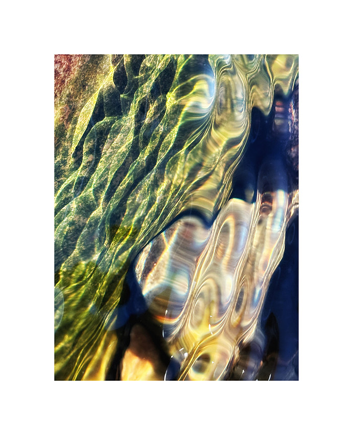
Every artist has a set of “grounding places”—rooms without walls where the mind unknots. Port Mackie is one of ours. Not just for its hush, but because it trains the senses. On wind days you learn to read the water by texture alone. On rain days the land’s saturated greens make you ruthlessly honest about colour and tone. On dead-calm days the incoming ripples write parallel staves across the shallows; a small sandpiper scribbles a descant at the tideline.
The bay also teaches revision. Its changes are subtle, but over years you see the way a winter storm has re-drafted the beach profile, the way a stray log has become an improvised seat under the dune bank, the way a certain rock now carries a new lacework of barnacles since the last great blow. That same habit of revision is the soul of any long project: the willingness to stay with a subject until the subject begins to speak.
And in staying, you begin to hear other voices: the late-night hush of a moored boat at Port Mackie (modern, yes, yet suggestive of older seafaring rhythms), the remembered footsteps that wore faint paths to shieling huts in the first decades after clearance, the way the village coalesced along the water as people moved in from older clachans to the east. These are not abstractions; they are the seam-lines of local history, recorded carefully by community historians and archaeologists who have walked, mapped, excavated, and written so the rest of us can join the conversation.
A Call Across the Water
Port Mackie is a threshold that keeps teaching us how to arrive. It is an unnamed-and-named place, a quiet paradox: mapped and unmappably alive. It anchors our practice and reminds us that the best work begins with listening.
To fellow readers and makers everywhere:
What are your hidden bays—the places that ground and unmake you, that are unnamed on official charts yet indelible on the inward map? Where has a name—old, local, lightly held—changed how you see a place you thought you already knew? Share them. Speak their stories, or their silences.
To Ardnamurchan folk—Portuairk, Achosnich, Kilchoan, and beyond:
If you know the older stories of Port Mackie—origins of the name, fragments of lore, family recollections, work songs of kelp or creel, winter anchorages, shieling memories—please add your voice. Did your people use this bay in particular ways? Do parish books, estate maps, or family papers carry variant names or spellings? Your knowledge can help us stitch another line into the living fabric of this coast.
Sources and citations
Ainmean-Àite na h-Alba (AÀA). (2025) Ainmean-Àite na h-Alba – Gaelic Place-Names of Scotland. Available at: https://www.ainmean-aite.scot/ (Accessed: 7 September 2025).
Earthwise (Gribble, C.D. and Durrance, E.M.). (1976; reprinted 1996; online nd) Portuairk, Lighthouse and Achosnich, Ardnamurchan – an excursion (British Geological Survey, Earthwise/GeoGuide). Available at: https://earthwise.bgs.ac.uk/index.php/Portuairk,_Lighthouse_and_Achosnich,_Ardnamurchan_-_an_excursion (Accessed: 7 September 2025).
GeoGuide (Gribble, C.D. and Durrance, E.M.). (nd) Appendix — Glossary of Ardnamurchan place names (translated by K. MacDonald). Scottish Geology Trust. Available at: https://geoguide.scottishgeologytrust.org/p/egs_ardnamurchan/egs_ard_xappendix (Accessed: 7 September 2025).
Haylett, J. (2012) A Portuairk Satellite Settlement. A Kilchoan Diary. 9 November. Available at: https://kilchoan.blogspot.com/2012/11/a-portuairk-satellite-settlement.html (Accessed: 7 September 2025).
Haylett, J. (2013) It could have been the 18th Century. A Kilchoan Diary. 20 July. Available at: https://kilchoan.blogspot.com/2013/07/it-could-have-been-18th-century.html (Accessed: 7 September 2025).
Haylett, J. (nd) A History of Portuairk. A Kilchoan Diary. Available at: https://kilchoan.blogspot.com/p/a-history-of-portuairk.html (Accessed: 7 September 2025).
Heritage Ardnamurchan. (nd) Portuairk. Available at: https://heritageardnamurchan.co.uk/portuairk/ (Accessed: 7 September 2025).
Highland Historic Environment Record (HER). (2013) MHG60934 – Possible shieling hut – SE of Portuairk, Ardnamurchan. Available at: https://her.highland.gov.uk/Monument/MHG60934 (Accessed: 7 September 2025).
Highland Historic Environment Record (HER). (2013) MHG56567 – Shieling site – Portuairk, Ardnamurchan. Available at: https://her.highland.gov.uk/Monument/MHG56567 (Accessed: 7 September 2025).
National Library of Scotland (NLS). (nd) Ordnance Survey Maps – Six-inch first edition, Scotland, 1843–1882. Available at: https://maps.nls.uk/os/6inch/ (Accessed: 7 September 2025).
Ordnance Survey. (2019) The Gaelic origins of place names in Britain. OS GetOutside. Available at: https://getoutside.ordnancesurvey.co.uk/guides/the-gaelic-origins-of-place-names-in-britain/ (Accessed: 7 September 2025).
Heritage Ardnamurchan. (nd) Kilchoan. Available at: https://heritageardnamurchan.co.uk/kilchoan/ (Accessed: 7 September 2025).
Keeping Ardnamurchan’s Spirit Alive—Together
There’s a quiet magic in Ardnamurchan—the way the light shifts across the moor, the salt wind carries whispers of history, and the land holds stories older than memory. This is the heart of my work: to listen, to translate silence into image and word, and to share the spirit of this extraordinary place with those who care about its beauty and heritage.
Every photograph, every essay, every project takes time—time to walk the remote tracks, to wait for the light that lasts only a breath, to write words that do justice to what I see and feel. This is slow art, and it matters deeply to me.
If my work resonates with you, if you believe in the value of preserving cultural and natural spirit through photography and writing, I’d love your support. Buying me a coffee helps me spend more time in the field, create more stories, and keep working closely with—and giving an authentic voice to—a community that is very close to my heart.
You can support me here:
👉 Buy Me a Coffee
Thank you for helping me keep Ardnamurchan’s stories alive.